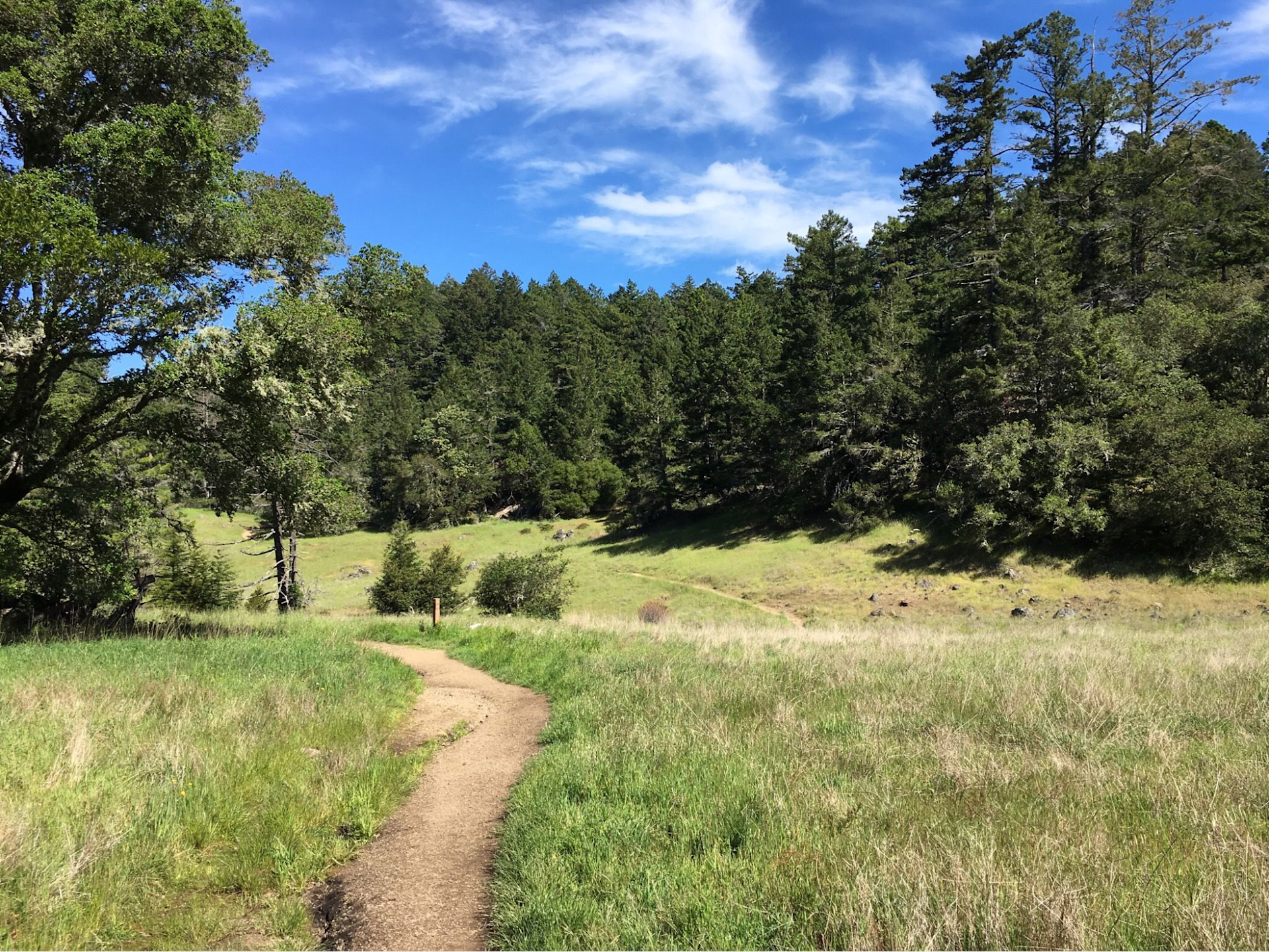
Hiking is more than just a fun way to exercise for me. It is a beautiful way to engage with the natural world that we live in, sometimes shared with friends, sometimes solo walking meditation and always shared with my exuberant dogs Olive and Coco. It is an opportunity for an adventure that never ends, with so many opportunities to enjoy the beautiful views and landscapes surrounding us.
If you are looking for some of the best hiking trails in California, you don't have to look very far. Marin County, located just north of San Francisco, offers a variety of scenic and diverse trails that will satisfy any hiker's appetite. Whether you want to stroll among the ancient redwoods, admire the views of the Pacific Ocean, encounter wildlife like elk and seals, or challenge yourself on steep and rugged terrain, you will find it all in Marin County.
Some of my favorites are listed below:
Blithedale Ridge Trail
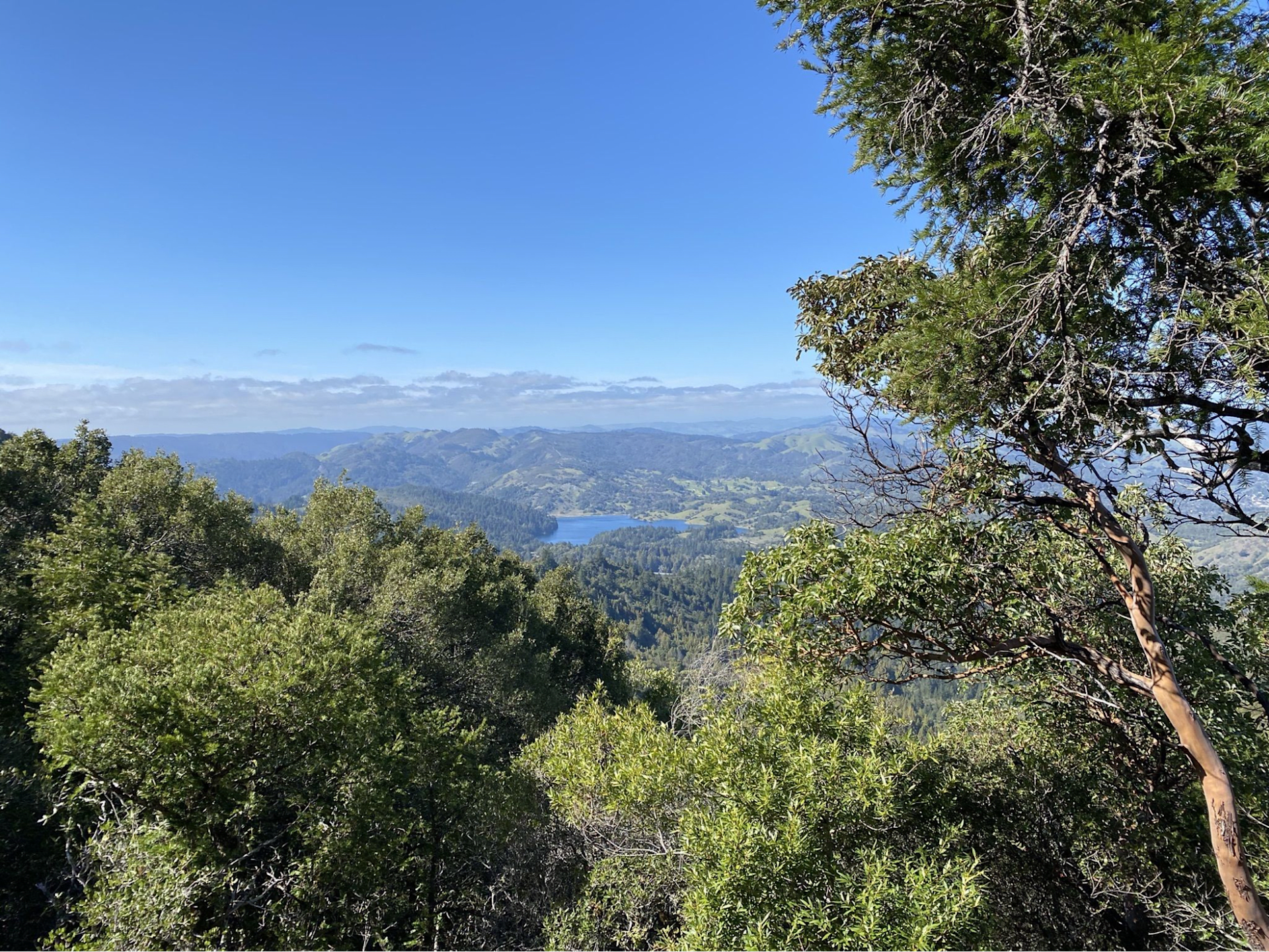
Blithedale Ridge Trail is a moderate hiking and walking trail located in Blithedale Summit Open Space Preserve near Kentfield, California. The trail spans 6.5 miles and has an elevation gain of approximately 1,643 feet which takes about 3 hours and 35 minutes to complete. Enjoy scenic views of the forest's beautiful wildflowers and wildlife during the hike with your dog on a leash around you too! There are two options for accessing this trail - Blithedale Ridge Fire Road from Corte Madera (2.6 miles long) or taking Mill Valley's challenging but exciting loop that measures seven miles. This moderately rated rugged terrain is perfect for hiking enthusiasts looking to challenge themselves while enjoying nature’s picturesque scenery along the way!
Sun Trail Loop
Regarded as one of Marin County's top six outdoor destinations, Sun Trail Loop is a hiking trail that offers breathtaking views of the bay and surrounding mountains. The 4-mile path begins at Mountain Home Inn and follows an itinerary towards Dipsea Trail before returning via Old Stage Road. It's rated moderate difficulty with a completion period of roughly two hours, featuring notable landmarks such as West Point Inn, Muir Woods National Monument, and Mount Tamalpais State Park along its way.
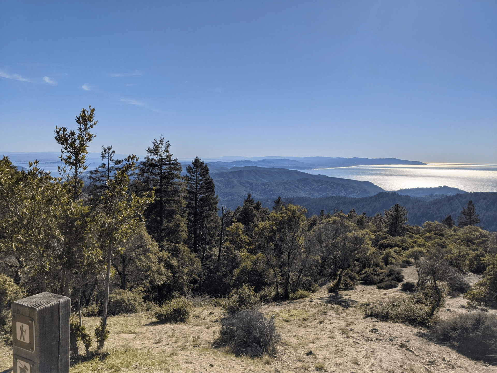
Bootjack Trail
Bootjack Trail is a 6.6-mile loop trail located near Mill Valley, CA that features a river. It is rated as moderate and offers a number of activity options. The course starts from the Muir Woods National Monument and climbs up the slopes of Mt. Tamalpais, revealing beautiful Bay Area and Pacific Ocean vistas. The trail passes through different types of forests, such as redwoods, Douglas fir, bay laurel, and tanoak. There are various creek crossings and waterfalls along the way. The trail also goes by the Bootjack Campground and the Mountain Theater.
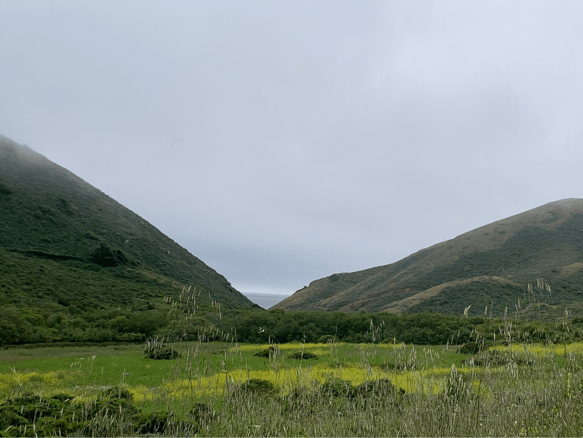
Rodeo Beach, Coastal Trail, and Miwok Trail:
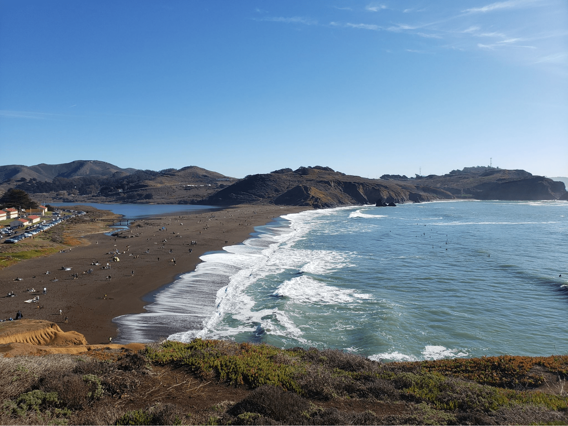
The Golden Gate National Recreation Area in California is home to three scenic places you can visit. Rodeo Beach offers striking views of the Pacific Ocean and cliffs, while Miwok Trail boasts an array of wildflowers and wildlife along its 10.4-mile loop trail. Coastal Trail spans a 28-mile route offering splendid glimpses of bay and city landscapes from its coastal path. These hiking trails are among the top-rated ones in this region that offer moderate difficulty levels for hikers who wish to explore them with their pets as well at certain designated areas on paths.
Cataract Falls via Rock Spring Trailhead
Cataract Falls via Rock Spring Trailhead is a 5.6-mile out-and-back trail near Mill Valley, California. It is a moderately challenging route that takes you along Cataract Creek to a series of waterfalls and then to the redwood-lined shores of Alpine Lake. The trail is open year-round and is beautiful to visit anytime. Dogs are welcome but must be on a leash. You can also enjoy fishing at Alpine Lake.
Tennessee Valley, Muir Beach, Coastal, and Fox Trail Loop
These trails are all located in the Tennessee Valley Golden Gate National Park and Recreation Area near Mill Valley, California. Here are some details about each trial:
Tennessee Valley Trail: This is a 3.4-mile out-and-back trail that leads to Tennessee Beach, a secluded cove with sand and rocks. The trail is mostly flat and paved, making it suitable for families and beginners. It offers views of the hills and wildlife along the way.
Muir Beach Trail: This is a 1.7-mile out-and-back trail that connects the Tennessee Valley Trail with the Coastal Trail. It descends to Muir Beach, a sandy beach with a lagoon and a picnic area. The trail is steep and narrow in some sections and can be muddy after rain.
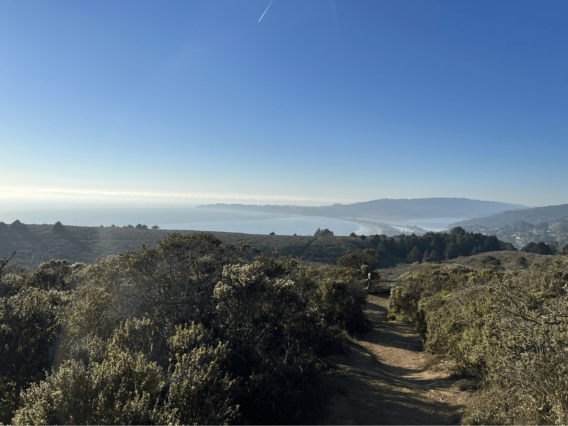
Coastal Trail: This is a 5.9-mile point-to-point trail that runs along the coast from the Tennessee Valley Trailhead to Rodeo Beach. It passes through Pirates Cove, a rocky inlet with tide pools and caves, and offers panoramic views of the ocean and the city. The trail is moderately difficult, with some steep climbs and descents.
Fox Trail: This is a 1.6-mile one-way trail that connects the Tennessee Valley Trail with the Coastal Trail. It ascends to the ridge above the valley, offering views of the bay and the hills. The trail is challenging, with steep and rocky terrain.
These trails can be combined to form various loop hikes, such as the Tennessee Valley, Muir Beach, Coastal, and Fox Trail Loop, which is a 6.7-mile loop that covers all four trails. It is considered a hard hike, with an elevation gain of 1,660 feet and a duration of about 3 hours and 40 minutes. It is open year-round and has beautiful views of the beach, the wildflowers, and the wildlife.
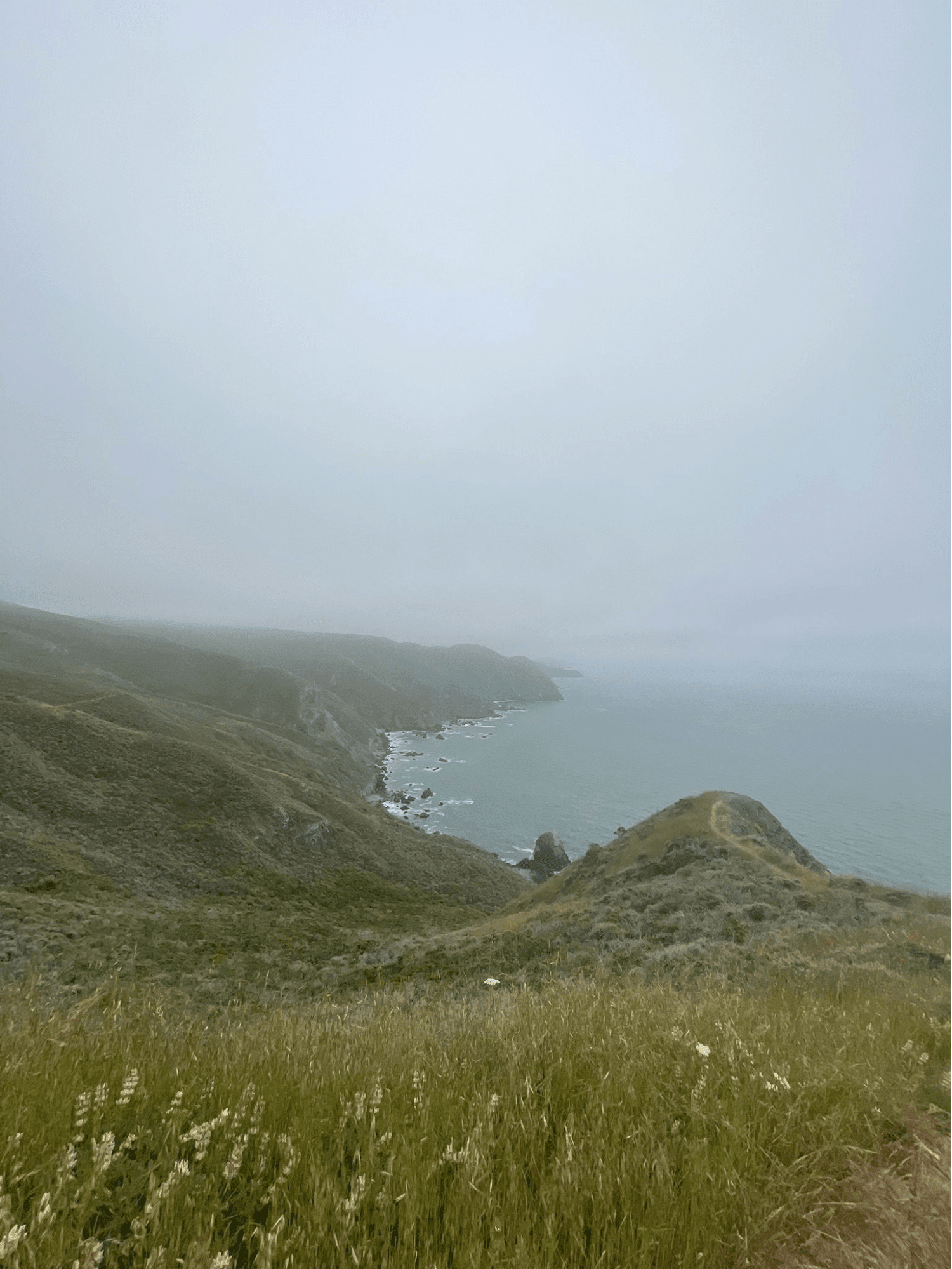
Chimney Rock Trail
Chimney Rock Trail two different trails in Point Reyes National Seashore near Inverness.
Chimney Rock Trail Loop is a 2-mile loop trail that offers stunning views of the ocean and Drakes Bay, as well as spring wildflowers and elephant seals.
Chimney Rock Trail is a 1.9-mile out-and-back trail that leads to Chimney Rock, a rock formation that overlooks the Pacific Ocean and the North American Plate boundary.
Tennessee Valley Trail
The Tennessee Valley Trail is a popular and scenic hiking trail near Mill Valley, California. It starts from the Tennessee Valley Trailhead at 591 Tennessee Valley Rd, Mill Valley, and follows the valley floor for about 1.8 miles (one-way) to the Tennessee Beach on the Pacific Ocean. The trail is mostly flat and easy, with some short rocky hills and wooden strips. It is wheelchair-friendly, kid-friendly, and stroller friendly. The trail is also open for horseback riding and mountain biking.
The trail offers beautiful views of the rolling hills, wildflowers, wildlife, and the ocean. You might see birds like raptors and swallows, or animals like deer and coyotes. The trail is open year-round and is especially lush and green in spring. There are picnic tables and bathrooms near the parking lot and the lagoon.
If you are looking for a relaxing and enjoyable hike in Marin County, the Tennessee Valley Trail is a great option.
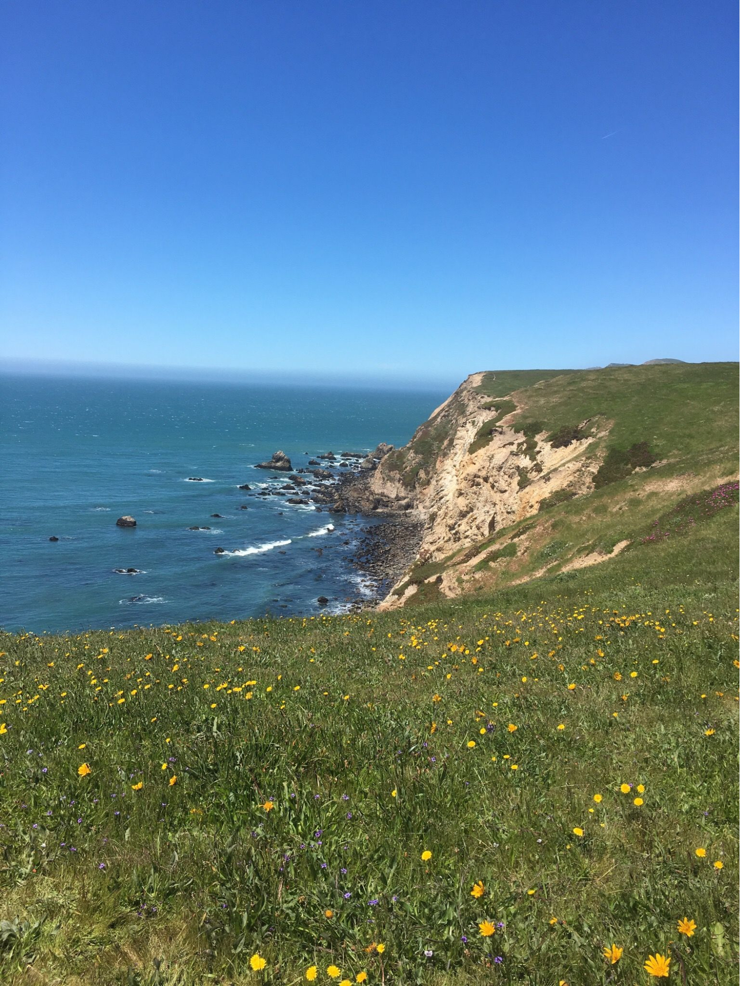
Tomales Point Trail
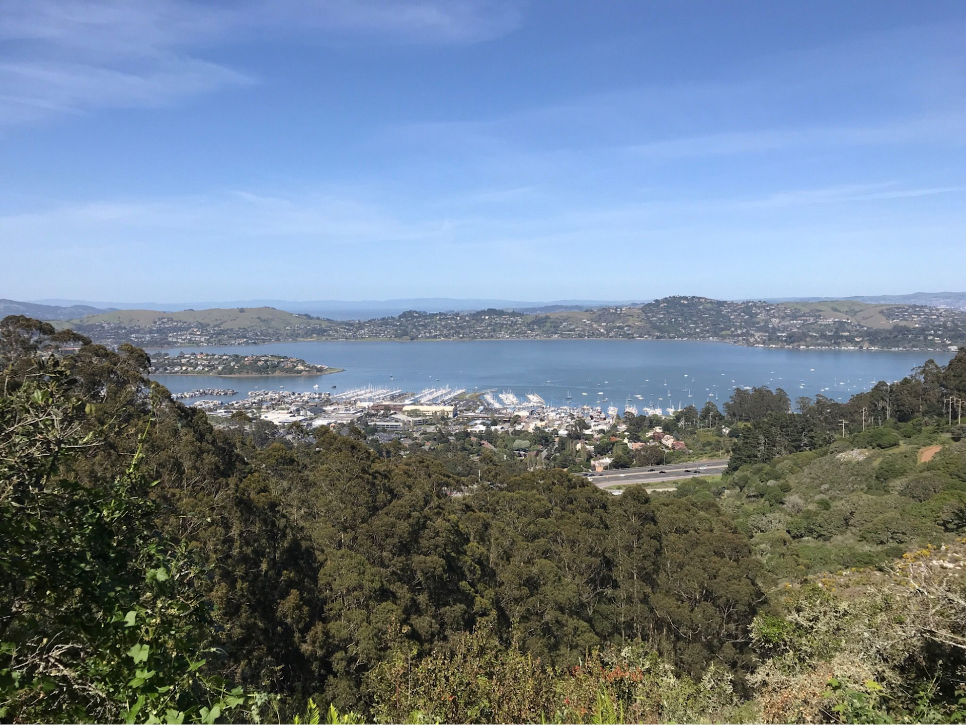
Tomales Point Trail is a 9.4-mile out-and-back trail near Marshall, California, in the Point Reyes National Seashore. It is a moderately challenging route that offers spectacular views of Tomales Bay, Bodega Bay, and the Pacific Ocean. It is also a prime wildlife viewing trail, as it traverses through the Tule Elk Reserve. You can see elk, herons, ducks, quail, and other animals along the way. The trail is open year-round and is beautiful to visit anytime.
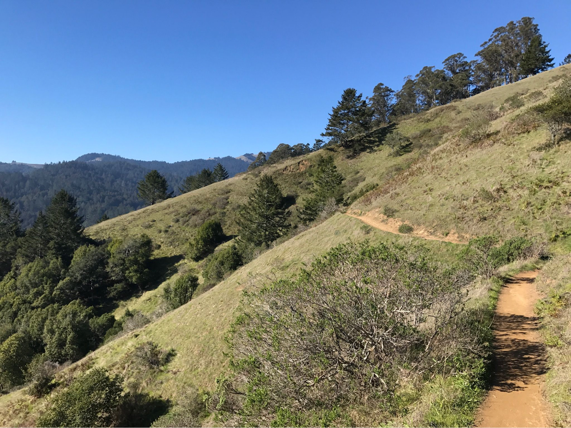
Bolinas Ridge Loop
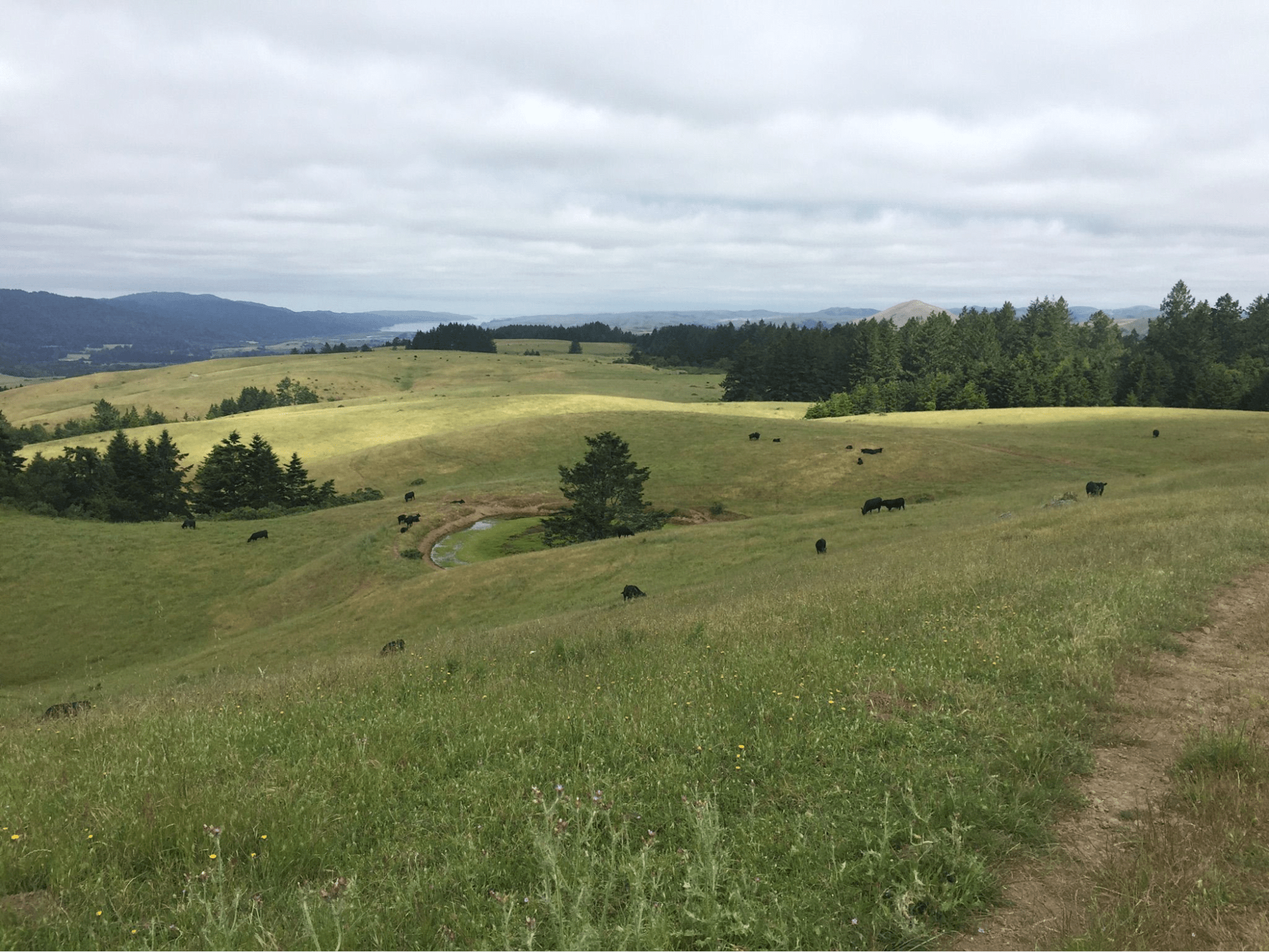
The Bolinas Ridge Loop is a 10.8-mile loop trail near Fairfax, California that goes through forests, and meadows and offers stunning views of Tomales Bay and Novato. It is a moderate hike that takes about 4 hours and 38 minutes to complete. You can also enjoy backpacking, camping, and running on this trail. The trail starts from the Cronin parking area and goes up to the Bolinas Ridge, then down to a fork that leads to Jewell and Samuel P Taylor State Park. There is a fee to enter the park.
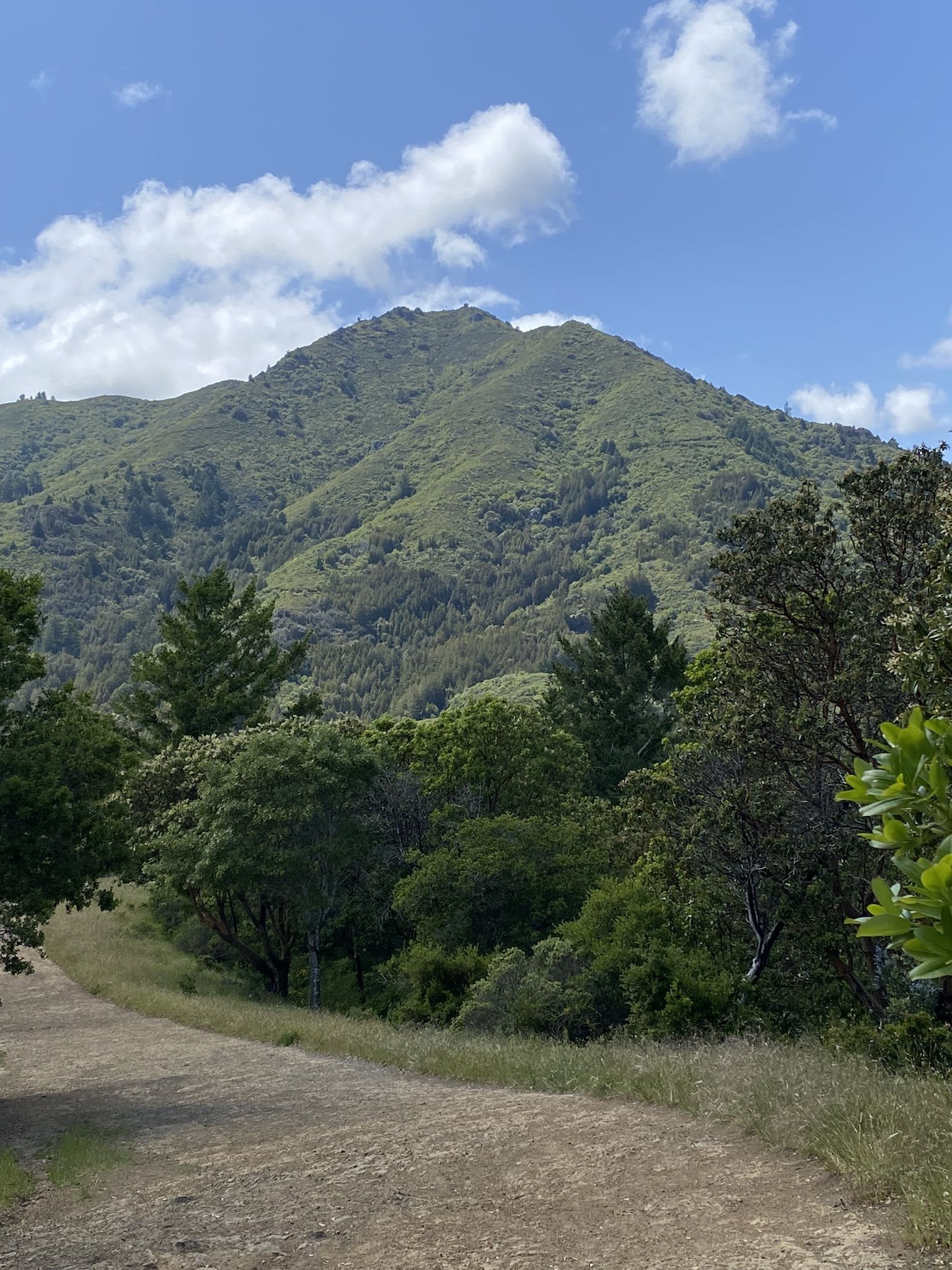
Mountain Home Inn to Mount Tam East Peak Trail
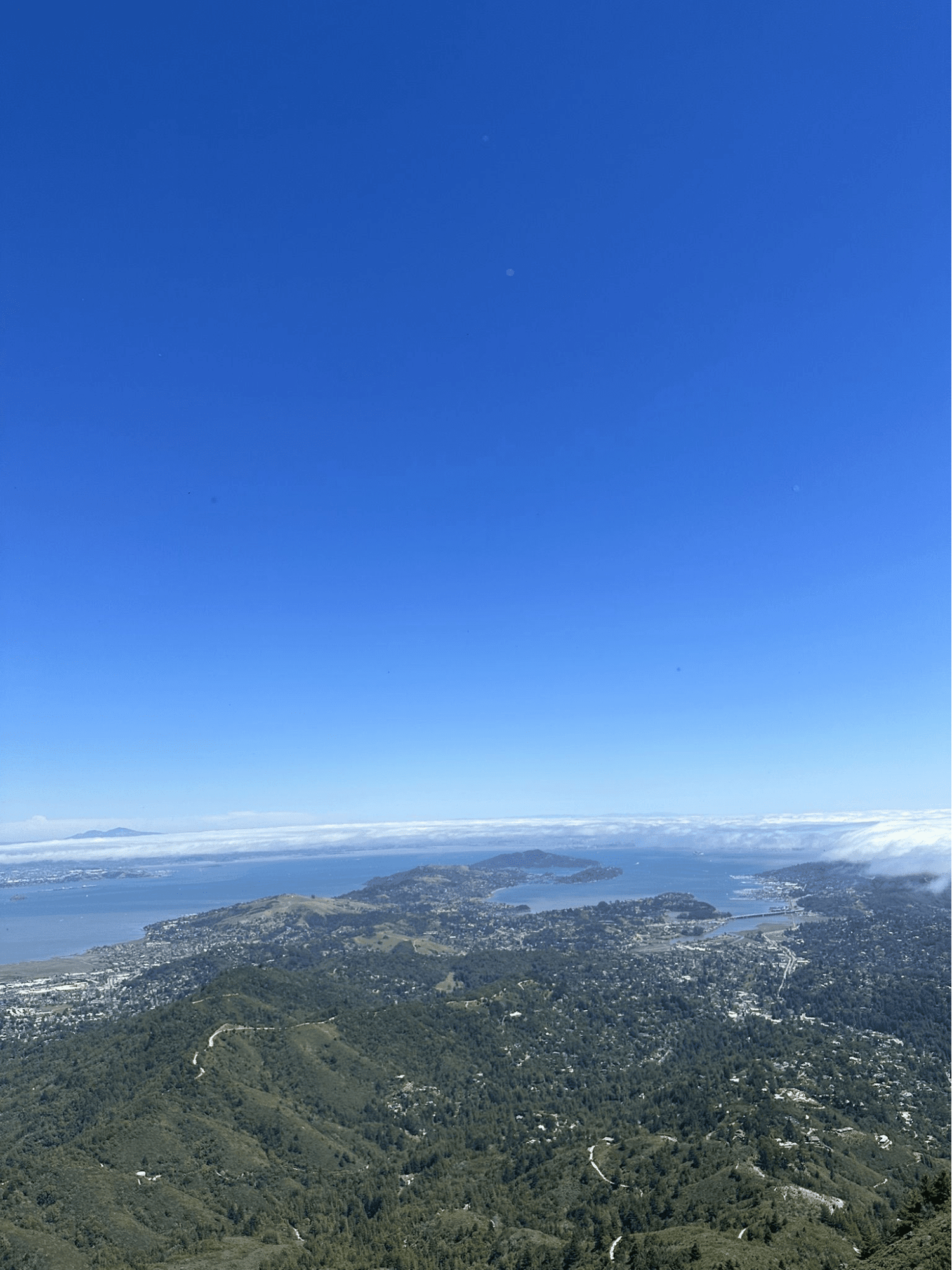
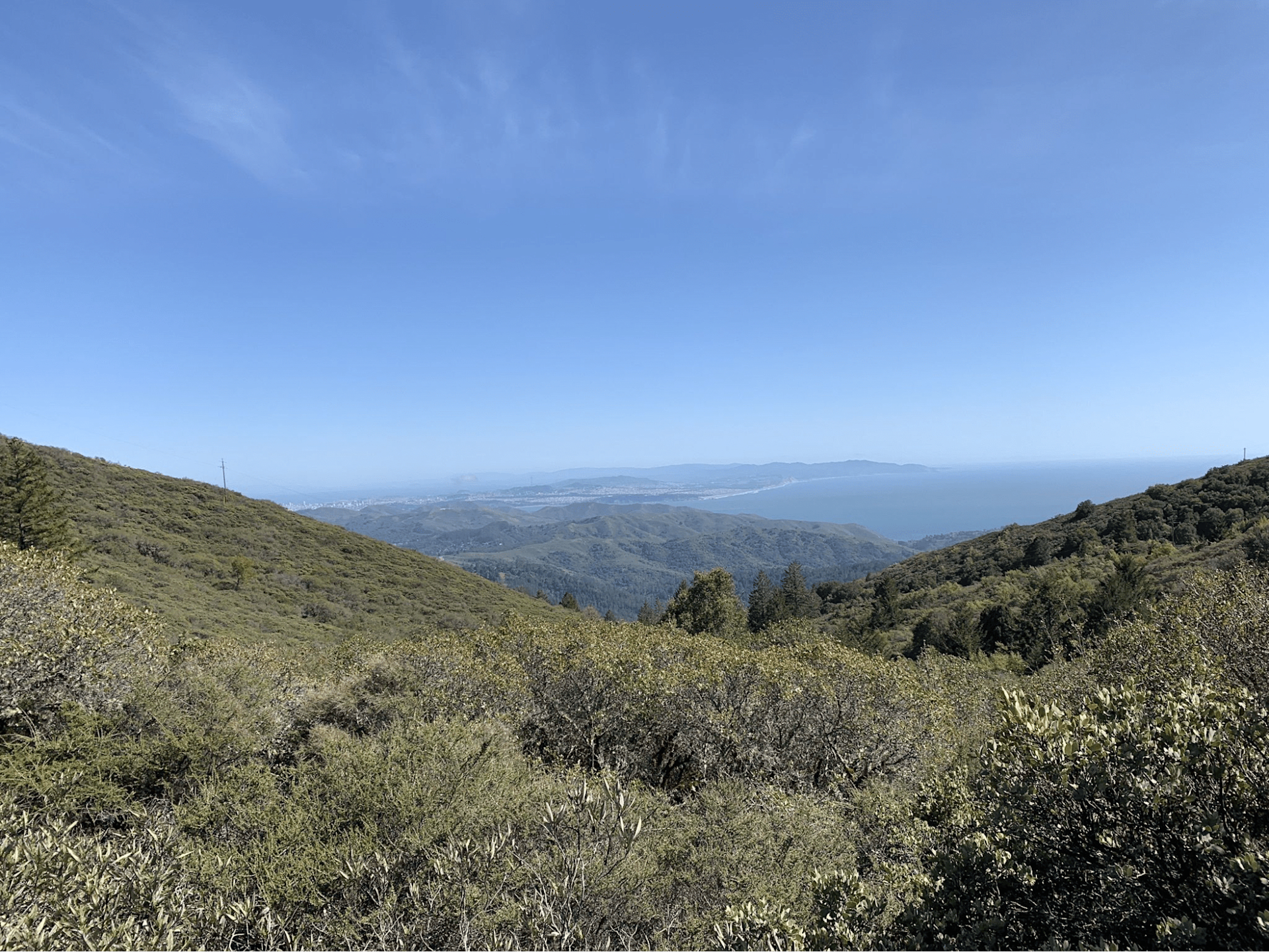
The Mountain Home Inn to Mount Tam East Peak trail is a 3.9-mile out-and-back trail near Mill Valley, California that climbs up to the summit of East Peak for stunning 360-degree views of the Bay Area and the Pacific Ocean. It is a hard hike that takes about 2 hours and 46 minutes to complete. This is a very popular area for birding, hiking, and rock climbing. You can also bring your dog on this trail, but they must be on a leash. The trail starts from a trailhead at the Mountain Home Inn, climbing up the Gravity Car Fire Road to the Old Railroad Grade. After a few miles, you will take the Fern Creek Trail to the summit. There is a fee to park at the Mount Tamalpais Watershed.
Tennessee Valley Golden Gate Loop Trail

The Tennessee Valley Golden Gate Loop Trail is a 5.5-mile loop trail near Mill Valley, California that goes through the Golden Gate National Recreation Area and offers views of the beach and the ocean. It is a moderate hike that takes about 2 hours and 56 minutes to complete. This is a very popular area for birding, hiking, and mountain biking. Dogs are not allowed on this trail. The trail starts from the Tennessee Valley Trailhead and follows the Tennessee Valley Trail to the beach, then loops back via the Coastal Trail and the Miwok Trail. There is a fee to park at the Tennessee Valley Trailhead.
Mount Tamalpais Middle Peak Loop
The Mount Tamalpais Middle Peak Loop is a moderate 4.3-mile or 5.3-mile loop trail near Mill Valley or Larkspur, California. It offers views of the forest, wildflowers, and wildlife. It has an elevation gain of 872 feet or 889 feet. It is open year-round and is popular for hiking, running, and birding. The trail can be accessed from the Rock Springs parking lot or the Pantoll Visitor Center. There is a parking fee of $8.
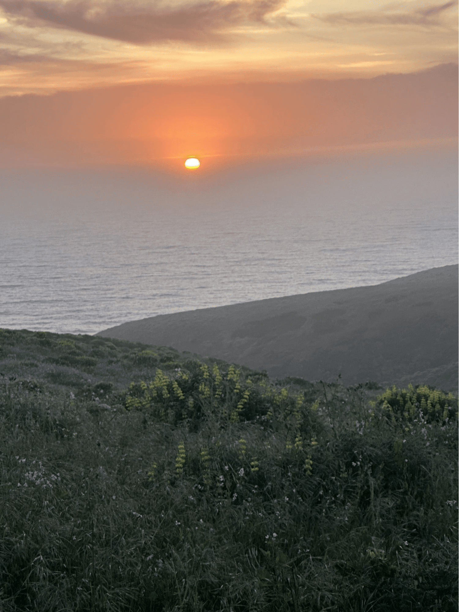
Dipsea Trail, Steep Ravine Trail, and Matt Davis Loop
Dipsea Trail, Steep Ravine Trail, and Matt Davis Loop are three of the most popular trails in Mount Tamalpais State Park near Mill Valley, California. They form a 6.6-mile loop that offers stunning views of the Pacific Ocean, Stinson Beach, Point Reyes, and waterfalls along Webb Creek. The loop is rated as moderate and takes about 3 to 4 hours to complete. The loop can be done in either direction, but some people prefer going counter-clockwise to get most of the elevation gain done in the first half. The loop starts and ends at the Stinson Beach Trailhead behind the fire station. Dogs are not allowed on this loop.
Alta Trail
The Alta Trail near Sausalito is a moderate hike that offers scenic views of the bay and the city. It is a 4.7-mile out-and-back trail that starts from the Golden Gate National Recreation Area and climbs up to a ridge. It is a popular area for birding, hiking, and mountain biking, and dogs are welcome and may be off-leash in some areas. The trail is open year-round and is beautiful to visit anytime.
Colier Spring Trail to Lagunitas Lake
Colier Spring Trail to Lagunitas Lake is a 3.0-mile out-and-back trail near Fairfax, California. It is rated as moderate and offers scenic views of the lake and wildflowers. The trail starts from the Lake Lagunitas parking lot and follows a fire road for about 0.7 miles until it reaches the Colier Trail trailhead. The trail then descends steeply along Colier Creek for about 1.5 miles until it reaches Lagunitas Lake. The trail is popular for hiking and walking, but it can be challenging due to loose gravel, slippery sections, and steep switchbacks. Dogs are allowed on the trail, but they must be on a leash.
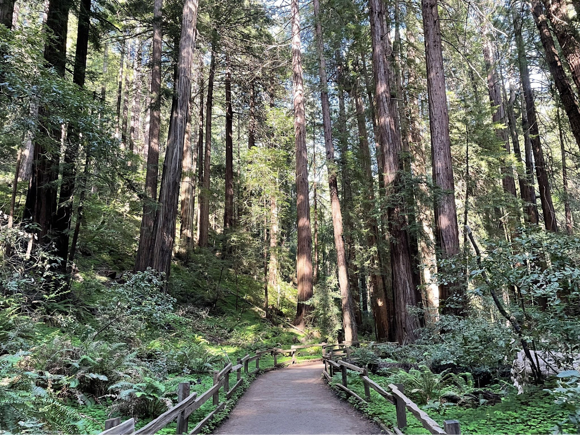
Muir Woods to Mount Tamalpais Trail
Muir Woods to Mount Tamalpais Trail is a 10.5-mile loop trail near Mill Valley, California that takes you from the old-growth redwood forest of Muir Woods National Monument to the summit of Mount Tamalpais, the highest peak in the North Bay Area . It is a challenging route that requires an average of 5 h 39 min to complete. It is a popular trail for hiking and running, but you can still enjoy some solitude during quieter times of day. The best times to visit this trail are March through September. You'll need to leave pups at home — dogs aren't allowed on this trail.
Hiking in Marin is a rewarding experience that lets you discover the many facets of Marin County. From stunning vistas to rich wildlife to historic sites, there is something for everyone on the trails in Marin. Hiking in Marin also reveals the high standard of living and the attractive opportunities in Marin County. You can admire the homes, schools, services, and nature that make Marin County a desirable place to live and invest. You can also appreciate the convenience of being close to the Bay Area and its culture while enjoying the natural beauty and peace of Marin.
So what are you waiting for? Grab your hiking boots, your water bottle, and your camera, and head out to one of the many trails in Marin County. You’ll be glad you did!
Sources: